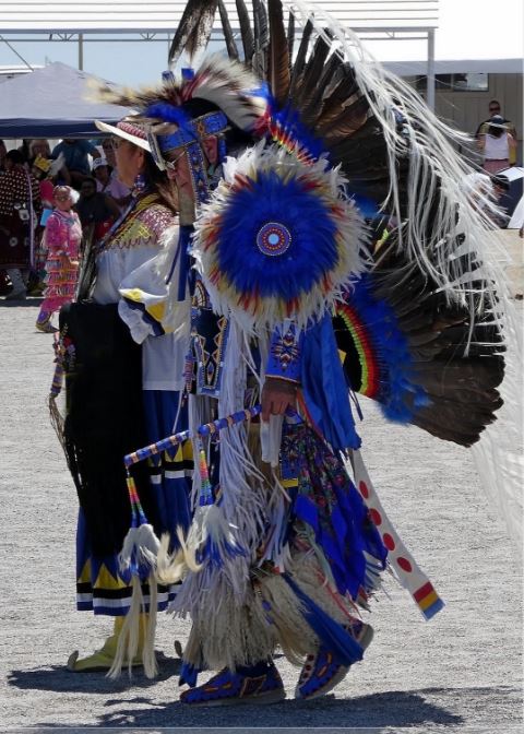
Southern Nevada’s earliest Mexican and American traders, explorers, adventurers, and settlers encountered nomadic bands of Natives who called themselves Tudinu, or Desert People, and have come to be known as Paiute.
The Paiute comprise three closely related indigenous people of the Great Basin (northern) and Mojave (southern) Nevada deserts; the Southern Paiute are also native to parts of northwestern Arizona, southeastern California, and southwestern Utah.

Paiute is a combination of “ute,” which refers to a related tribe found in Utah and Colorado, and “pa,” “pah,” or “pai,” which means “water.”
Nevada place names with the syllable “pah” are fairly numerous. We have, among others, Pahrump (60 miles west of Las Vegas), Tonopah (in central Nevada), Ivanpah (now home to the world’s largest solar-power array), the Pahrah (near Reno) and Pahroc (near Caliente) mountains, Panaca (one of the tri-towns in Lincoln County), and Pahranagat, 90 miles northeast of Vegas, which we’ll return to in this and the next blog.
The homeland of the Las Vegas band of the Southern Paiute centered on Big Springs of Las Vegas Valley, from which a creek flowed through lush grassland and thickets of mesquite (and is now home to the excellent 180-acre Springs Preserve attraction near the intersection of S. Valley View Blvd. and Alta Drive).
Where did this water come from?
It turns out that much, if not most, of arid Nevada is underlain by aquifers. An aquifer is an underground layer of sand, gravel, silt, and/or permeable rock that bears and directs the flow of water. (The study of the water flow in aquifers is hydrogeology.)
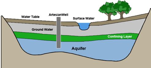
It’s believed that an unimaginably vast aquifer flows under southeastern Nevada and the aboveground evidence of it can be seen throughout the region. This water gives desert rats like myself a kind of quest when venturing out into Greater Vegas.
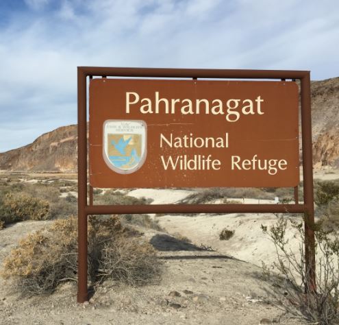
And the first such bucolic stop on the quest is Pahranagat National Wildlife Refuge.

 Never miss another post
Geoff,
Some info on Nevada aquifers.
Mr. SC